Caines Head, Resurrection Bay, Seward
This past Friday evening my family (minus my eldest son) zipped down to Seward and spent the weekend exploring the Caines Head Trail. This is a great trail for introducing backpacking to younger kids since it is relativity flat. I watch my weather app all summer to see when Seward will have a three day window of sunshine and then we GO!
Caines Head itself rears 650ft above Resurrection Bay and offers sweeping views of the surrounding mountains. During WWII, when the territory of Alaska was attacked by Imperial Japanese ground forces, Caines Head became a strategic spot for defending the Port of Seward. Seward is the most southern point of the Alaska Railroad, the port was a vital supply line for the war effort and continues to be for Alaskans today. Construction of Fort McGilvray began in 1941 and ended in 1944. Today you can explore many concrete bunkers and the gun mounts that held huge 155mm guns.
 |
| Looking north from Derby Cove |
!ALERT! This trail MUST be timed with the low tide of plus three feet or lower as part of the trail uses inter-tidal coastline. The 2.5 mile hike from Tonsina Point to Derby Cove can ONLY be hiked at low tide. At low tide you can make it all the way from Tonsina Point to North Beach following the coastline, but there is an overland trail from Derby Cove to North Beach as well. Check here for local tides.
!!!RESPECT NATURE!!! This is a high traffic trail. It is of the utmost importance that you pack out when you pack in. Strive to leave your campsites better than when you arrived. Practice “leave no trace” etiquette.
This trail offers gorgeous views for the piddly 970 feet of elevation gain between Lowell Point and Caines Head. My husband and I only wore/brought one pair of shoes, our Chacos (hiking sandals). We did this only because we knew we had a great weather forecast. With a rainier forecast I’d recommend sturdier shoes.
Here is a trail map…
Finding Trailhead!
The trail head can be found on Lowell Point. When entering Seward continue straight until you reach the water and the turn right onto Lowell Point Road. Follow the gravel road along the rocky cliffs. The parking area will be on your right. The parking area is paved with an outhouse and NO parking fee (what, whaaat?!)
 |
| Trail head at parking lot |
Lowell Point To Tonsina Point, 2.1 miles, 200ft elevation
The first leg of the Caines Head Trail is Lowell Point to Tonsina Point. This section of the trail by itself makes a lovely day hike, which we have done before, and would make a great spot to take
out-of-state relatives who can handle a moderate hike. We arrived at the trailhead at 10:30 pm and decided to make use of our Alaskan summer light and hit the trail! This section of trail is a rolly-polly mosey through the forest, the first section on an old forestry road before narrowing to switchback down to sea level. The Parks & Rec have really been sprucing up this part of the trail, enjoy the easy footing.
 |
| Keep left at the first fork |
 |
| Keep right at the next fork |
At the bottom of the switchback you’ll cross a bridge, the trail out to Tonsina Point will be on your left. The trail will take you through tall grass along the creek and out onto the Point. Again, tides will determine how much beach you have to explore here.
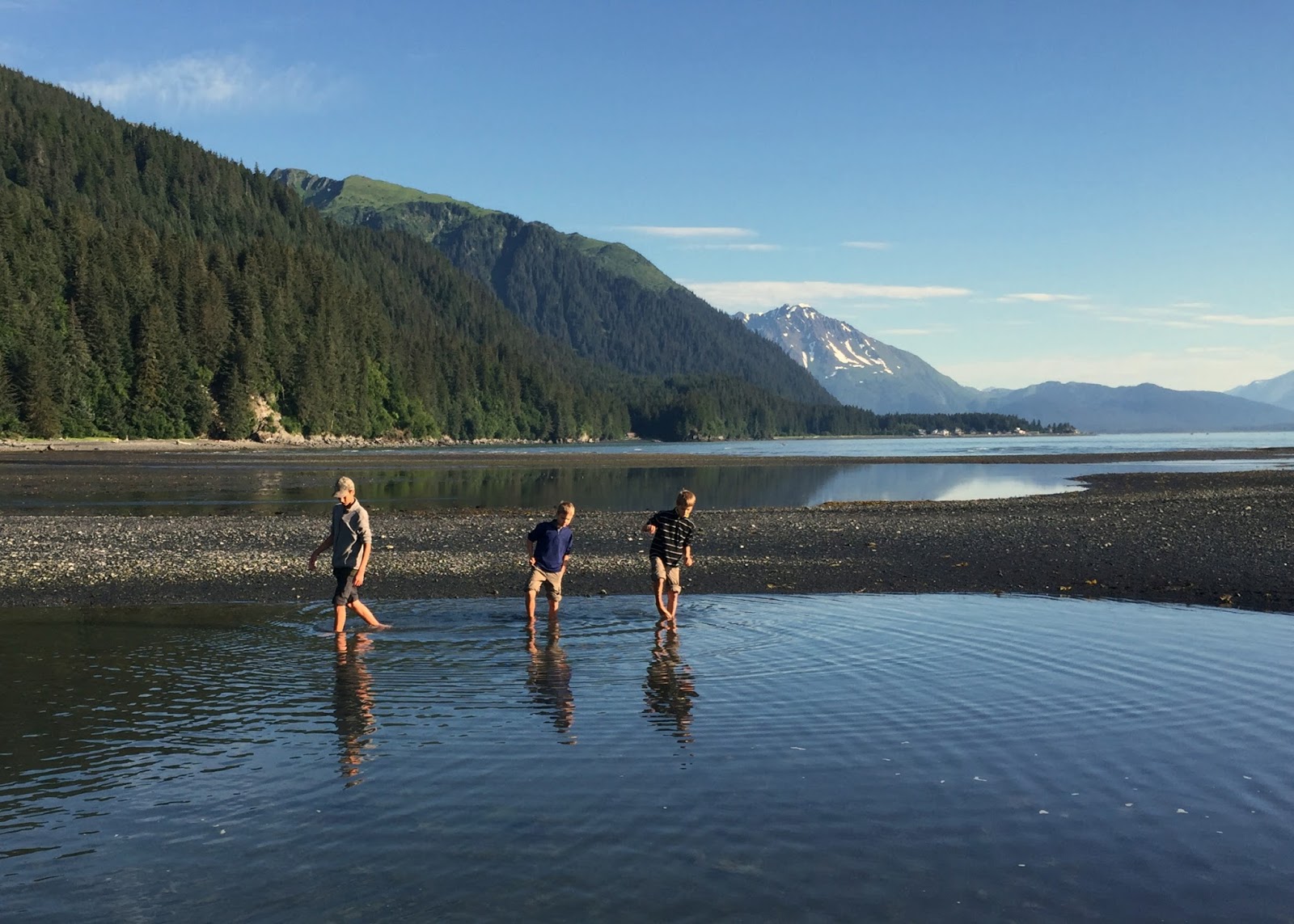 |
| Exploring a tidal pool |
 |
| Good morning Tonsina Point! |
If, at the first bridge you continue to the right on towards Caines Head, you will shortly enter what my family has dubbed "The Enchanted Forest". Here the tree branches are hung with moss in a very magical way! Keep your eye out for high bush blueberries.
 |
| The Enchanted Forest |
There will be a second bridge and then you will find a rough camping area with a pavilion, outhouse, and bear-safe food locker.
 |
| Second bridge. it is longer than the first. NO FISHING! |
After this you'll be leaving Tonsina Point and beginning the 3 miles of inter-tidal trail to North Beach. Be sure to have checked the tides before continuing.
 |
| Keep right after exiting The Enchanted Forest |
For the next 3 miles you will be following the coast line. STAY OFF the green seaweed/moss, it is slicker than snot! Keep your eye out for salmon berries, eagles, and washed up jellyfish and starfish. My family was blessed with getting to watch a humpback whale rolling, spouting, and then dive!
 |
| Follow the coast line. |
 |
| Salmon berries, yummy! |
 |
| Green seaweed = NO NO Step on! |
Between Tonsina Point and North Beach there are two public use cabins, Callisto cabin at approx mile 1.5 and Derby Cove cabin at mile 2.5. Both cabins have outhouses nearby. Please respect the paying guests. Want to rent a cabin? Follow this link !
Between Callisto cabin and Derby Cove there is a lovely waterfall and pool that makes a great spot to filter water.
 |
| Waterfall and pool to filter water |

Congratulations, you've made it to North Beach! Here you'll find an outhouse, spots to set up your tent, and a creek to filter water. Be aware that this is where most backpackers choose to camp. My family camped elsewhere, but we had fun hiking through the North Beach on our way to Caines Head. At North Beach you'll find the remains of the docks used by the military barges to bring supplies to fort McGilvray. Just past the docks, if the tide is low, there are some nifty caves to explore.
 |
| Dock remains |
North Beach to Caines Head/Fort McGilvray, 2.4 miles
You'll find the trail head to Caines Head on the southern side of North Beach. This section of the trail is an overgrown old road use to truck supplies up to the Fort. There are some crazy plants along this trail, I felt like a dinosaur should have popped up! We also enjoyed many salmon berries along this section of the trail.
 |
| Creepy bunker or at least I look creeped out! |
 |
| 155mm gun mount that fired 6 inch diameter shells. |
 |
| We enjoyed our lunches here and watched the sailboats tacking back and forth far below us. |

My family thoroughly enjoyed this backpacking adventure and I know you will too! Now go and THRIVE OUTSIDE on the Caines Head Trail!
 |
| All packed to go home, stopping at the waterfall to fill up water bottles. |
 |
| My adventuring partner, best friend, husband! |


Comments
Post a Comment